Trailer Location Hunters Have Already Pinpointed Vice City’s Real Miami Twins
From 1550 Collins Ave on South Beach to Cruise Terminal D at Port Miami, community mappers matched Rockstar’s trailer skylines block for block.
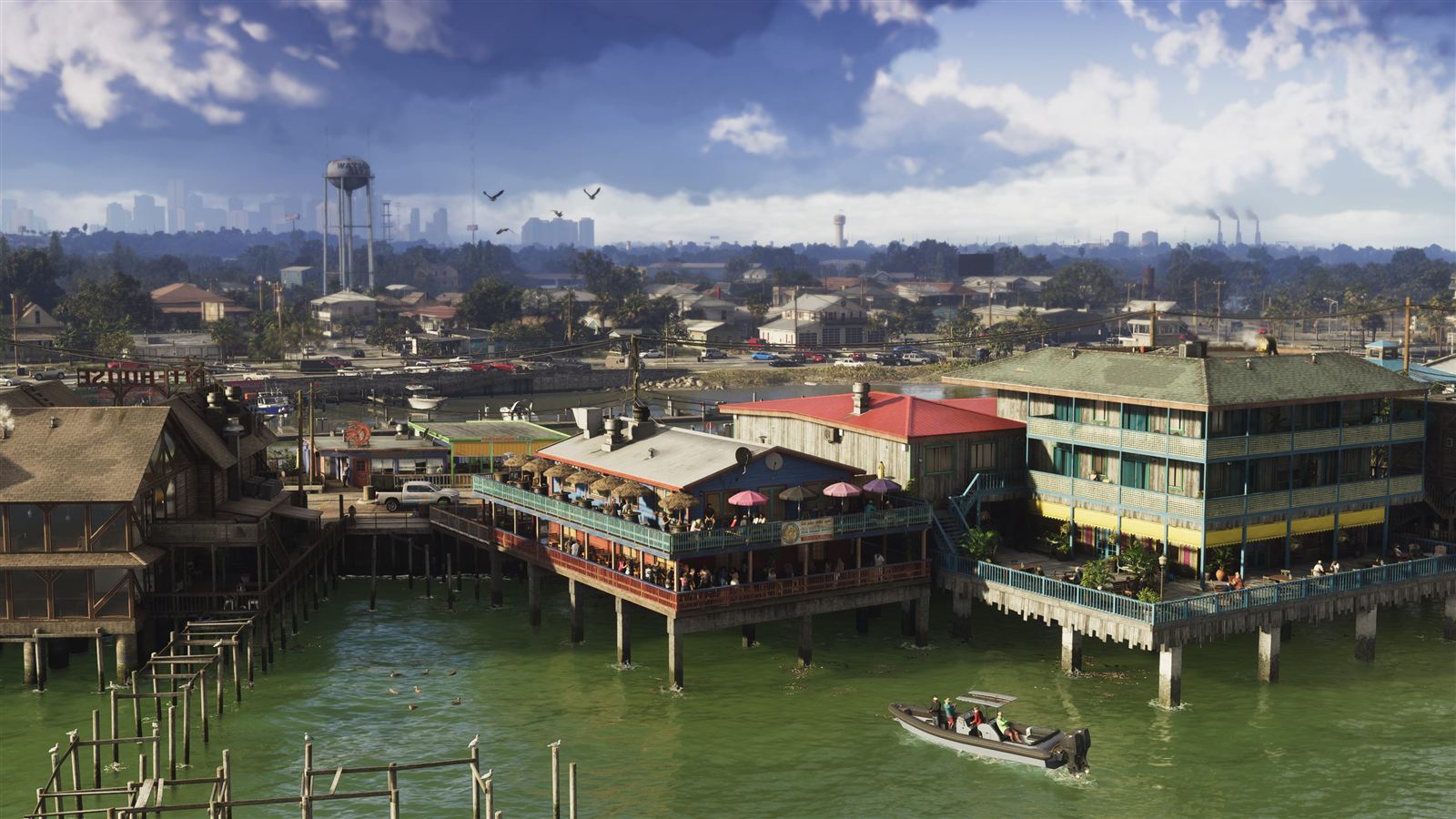
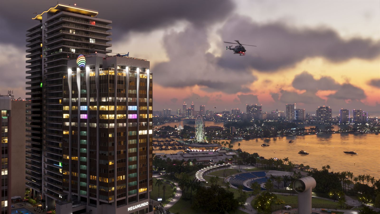
Within hours of every Rockstar video drop, the Leonida Mapping Project turns into a forensic cartography lab. By cross-referencing sun angles, bridge spans, and hotel facades against South Florida satellite imagery, fans have triangulated dozens of real-world Miami landmarks inside HD-universe Vice City.
Collins Avenue, Brickell Towers, and Port VC
Unlike the PS2-era Vice City — which compressed Miami into two narrow islands due to DVD and memory ceilings — the 2026 metropolis reproduces Greater Miami’s true urban geography. Oceanfront Art Deco strips along Vice Beach mirror South Beach, complete with the Tropics Hotel standing in for 1550 Collins Avenue.
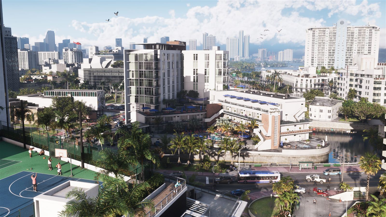
| Leonida District | Real-World Analog | Spotted Trailer & Map Markers |
|---|---|---|
| Vice Beach | Miami Beach / South Beach | Tropics Hotel (1550 Collins Ave analog), Ocean View Hotel, dense beach promenade |
| Tequesta & Downtown | Brickell & Downtown Miami | Vertical glass cluster, Tequesta Station, Sahara Arena & Vice City Arts Center |
| Little Cuba | Little Havana | José Martí Park and West Flagler Street cultural corridor |
| Port VC | PortMiami | Cruise Terminal D and heavy container crane infrastructure |
| Key Lento | Key Largo / Monroe County | Card Sound Bridge approach and Brian’s Boat Works & Marina |
1,400+ Mapped Pins & 99% Urban Core Confidence
By combining over 1,400 cataloged trailer landmarks, official screenshot vantage points, and coordinate breadcrumbs analyzed since 2022, community cartographers estimate nearly 99% layout accuracy across central Vice City and Port Gellhorn — giving players a working road atlas weeks before they ever steal their first convertible.